
Drone & Aerial Image Annotation for UAV Computer Vision
Bounding boxes, rotated boxes, polygons, segmentation and 3D point-cloud labeling on RGB, thermal, multispectral and LiDAR drone data for inspection, agriculture, construction and mapping models. Start with a free pilot on your own flights.
- ✓Free pilot on your flights
- ✓RGB, thermal & LiDAR
- ✓Small-object specialists
- ✓COCO / YOLO / GeoJSON export
Drone Annotation Services
Aerial imagery is hard: tiny objects, top-down angles, varying altitude and lighting. Our annotators are trained specifically for it.
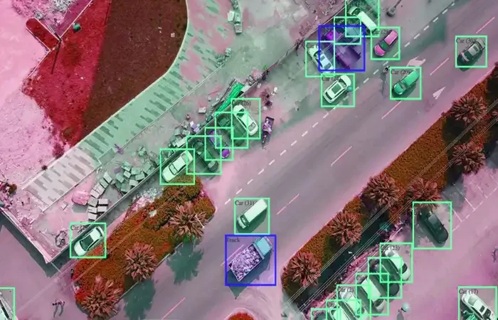
Object Detection in Aerial Imagery
Tight bounding boxes and rotated (oriented) boxes for vehicles, people, buildings, equipment and assets seen from above, including very small and densely packed objects.
- ✓Axis-aligned and rotated bounding boxes
- ✓Small and densely packed object labeling
- ✓Tracking IDs across drone video frames
Semantic & Instance Segmentation
Pixel-level masks for land cover, roads, rooftops, vegetation, water and construction areas, plus instance masks for individual objects.
- ✓Land-cover and land-use classes
- ✓Rooftop and building footprints
- ✓Instance masks per object
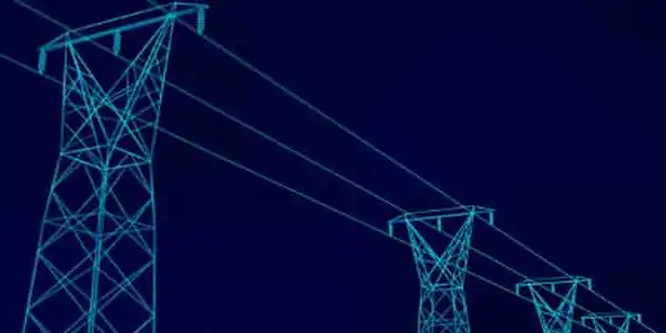
Infrastructure & Asset Inspection
Defect labeling on close-range drone inspection imagery of power lines, wind turbines, solar panels, towers, bridges and pipelines.
- ✓Cracks, corrosion, hotspots and broken components
- ✓Polylines for power lines and pipelines
- ✓Severity grading per defect
Thermal & Multispectral Annotation
Labeling of thermal and multispectral captures for solar hotspot detection, search and rescue, wildlife counts and crop-health models.
- ✓Solar panel hotspot and fault labeling
- ✓People and animal detection in thermal
- ✓Crop stress and plant-health zones
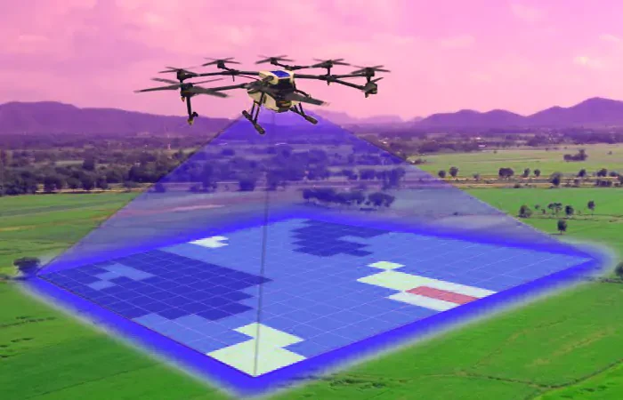
LiDAR & 3D Point Cloud Annotation
3D cuboids and point-wise segmentation on drone LiDAR and photogrammetry point clouds for mapping, surveying and digital twins.
- ✓Point-cloud classification (ground, vegetation, buildings)
- ✓3D cuboids for objects and assets
- ✓Power-line and corridor mapping
Precision Agriculture
Plant counting, weed detection, row and canopy segmentation, and disease spotting on field imagery to train farm-management AI.
- ✓Plant and tree counting
- ✓Weed vs. crop segmentation
- ✓Disease and damage spotting

Free Drone Annotation Pilot
Send a few frames or short clips from a real flight, ideally including your hardest cases (small objects, low light, thermal). We label them free to your class list, revise with you, and quote the full dataset from real results.
- 1
Share a small sample
Send a handful of files from your real dataset plus any labeling guidelines you already have. Tell us if you need an NDA in place first.
- 2
We annotate it free
Our team labels the sample to your class list and format, and flags edge cases or ambiguities in your guidelines.
- 3
Review and revise
You check the output and tell us what to change. We revise until the labels match what your model needs.
- 4
Get a clear quote
With the spec settled on your real data, we give you accurate pricing and turnaround for the full project. No obligation to continue.
Industries We Label Drone Data For
Discover how our customized annotation architectures empower machine learning deployments across key industry sectors.
Energy & Utilities
Power-line, wind-turbine and solar-farm inspection models that find defects before they become outages.
Agriculture
Crop-health, plant-count and weed-detection models from RGB and multispectral flights.

Construction & Real Estate
Site-progress tracking, stockpile and equipment detection, and building-footprint extraction.
Mapping, GIS & Surveying
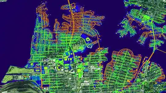
Land-cover segmentation and point-cloud classification for maps, digital twins and surveys.
Security & Public Safety
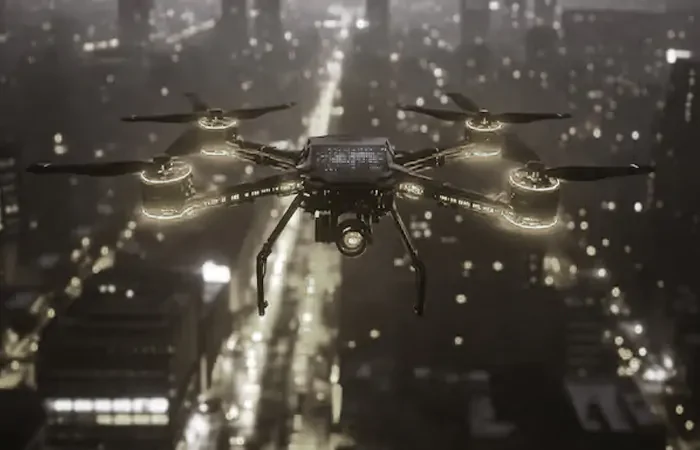
Person and vehicle detection for perimeter security, search and rescue, and disaster response.
Environment & Wildlife
Animal counting, habitat mapping and environmental-change detection from aerial surveys.
Not Just Labels: Data, Model and App From One Team
From labeled flights to a model running on the drone. SevvenLabs can label the data, train the detection model and optimize it for edge hardware.
Aerial training data
Detection, segmentation, thermal and LiDAR labels with QA, in COCO, YOLO, Pascal VOC or GeoJSON.
Computer vision models
Small-object detection and segmentation models trained and benchmarked on your flights.
Edge deployment & apps
Models optimized for on-drone or edge devices, plus inspection dashboards and reporting apps.
Why Drone AI Teams Choose SevvenLabs
Drone data needs annotators who understand altitude, scale and small objects. We specialize in it, and we can deploy the trained model to the edge as well.
Free Pilot on Your Data
We label a small sample of your real drone data for free and revise it with you, so you judge quality before spending anything.
Built for Small and Mid-Size AI Teams
Flexible batch sizes, a direct line to the project lead, and fast starts. Your project is a priority here, not a line item in an enterprise queue.
Labels, Model and App in One Place
We can also train and deploy the model and build the app around it, so data quality and model results are owned by the same team.
Drone Annotation FAQs
Have questions? Here is everything you need to know about our drone & aerial image annotation.
See our work on your own data before you pay anything
5–10 aerial images or 2–5 short drone videos. Free, with revisions, so you can judge quality and get an accurate quote.
Start a Free Pilot →